Cape Town 3D model
Cape Town and Table Mountain | 10 × 10 km | DXF + STL
A 10 km square over Cape Town, from the V&A Waterfront and the City Bowl around Signal Hill to Sea Point, with Table Mountain rising straight behind the city. The city is pressed between the mountain and the sea, so the terrain dominates the model.
3D model · Cape Town
Rendered from the pack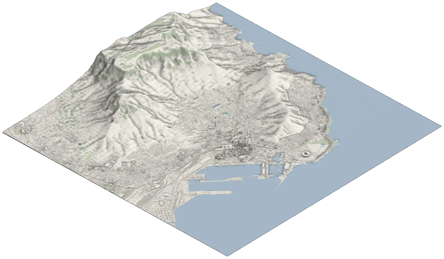
Need an exact site instead? Open this region in the editor and draw any boundary, or see pricing.
Up close
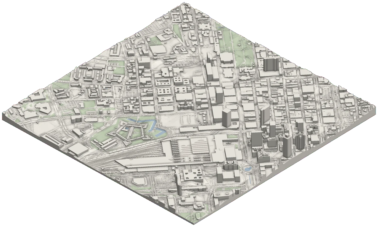
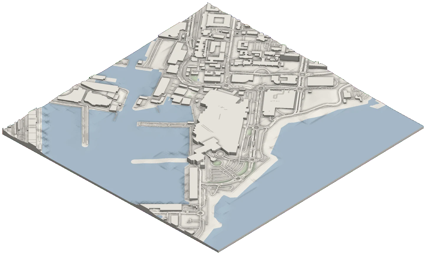
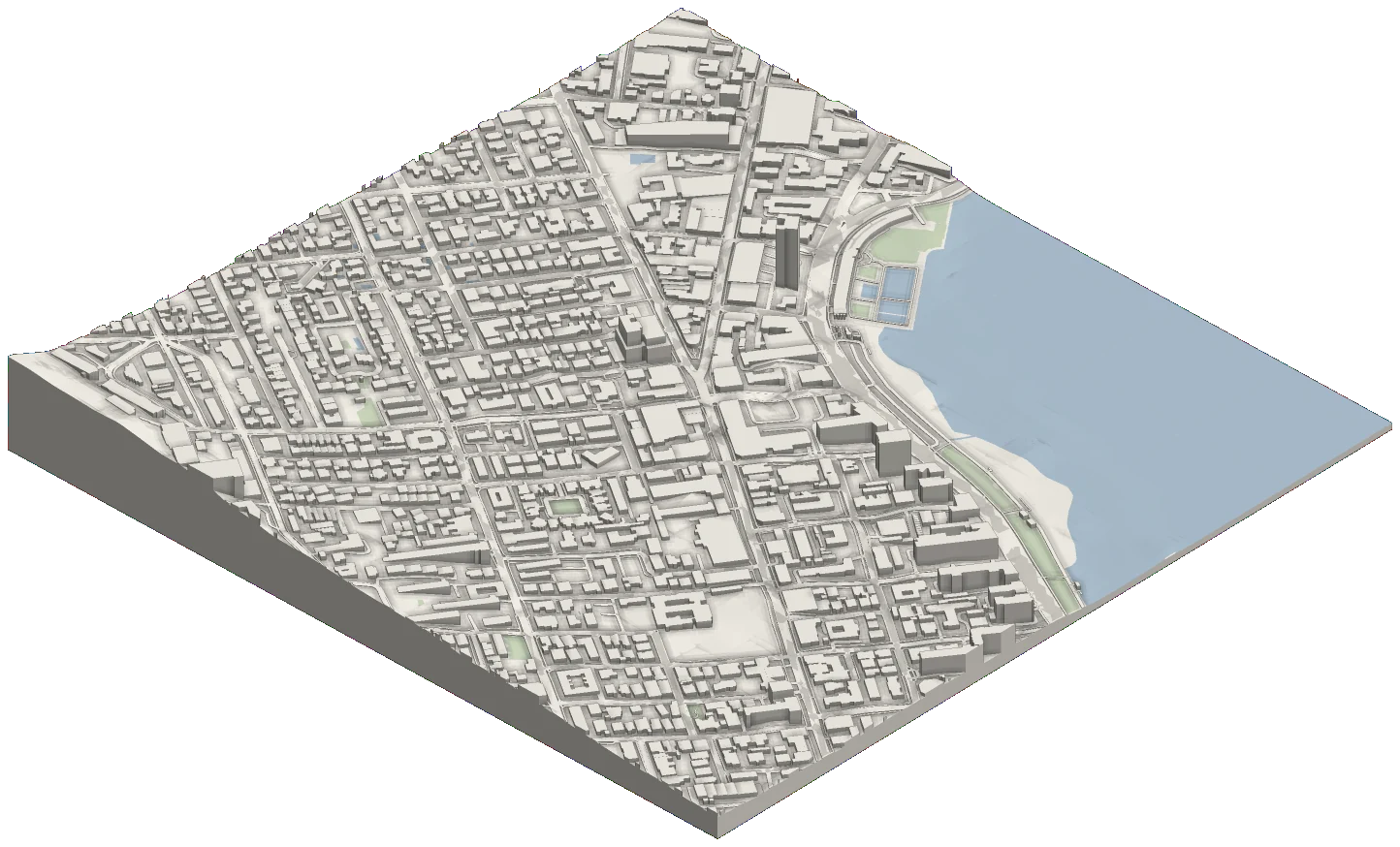
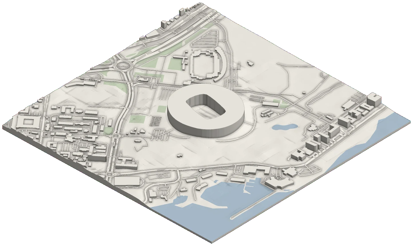
Every one of these is inside the pack.
This region, in numbers
- Centre
- 33.9300° S
18.4200° E - Extent
- 10,000 m × 10,000 m
- Area
- 100.00 km²
- Terrain resolution
- 30 m
- Projected CRS
- UTM 34S · EPSG:32734
- Formats
- Layered DXF · STL
What to expect here
- Terrain comes from 30 m global elevation data, the best source we have for South Africa, so the mountain reads smooth and the fine detail is in the buildings and roads.
- Table Bay and the Atlantic come as their own water layer, so in CAD the shoreline can be styled or hidden on its own.
- Every layer at full detail: buildings, roads as centrelines, outlines and surfaces, railways, water, land use, vegetation, and 1 m contours with a major line every 10 m.
What's in the pack
3D layered DXF
rescape-cape-town.dxf
1.32 GB
Terrain and every building as meshes, road and water surfaces with their outlines and centrelines, railways and contours, each on its own layer.
2D plan DXF
rescape-cape-town-flat.dxf
342 MB
The same layers drawn flat for site plans: footprints, road and water outlines, centrelines and rails at elevation zero. Contours keep their heights.
Printable STL
rescape-cape-town.stl
991 MB
The whole model as one closed solid on an 8 m base, ready to scale down in your slicer.
True scale, 1:1, in UTM 34S (EPSG:32734) metres, so the three files line up with each other and with other georeferenced data. Terrain is 30 m global elevation data.
Cape Town city pack
All three files, ready the moment you pay.
100 km² · $49
Practical guide
Turn this region into CAD context
See how to choose useful layers, generate a DXF and verify open-data geometry before using it in a drawing or model.
Read the CAD site-context guide →


